

The Maolong mines 茂隆厂 in Cangyuan District 沧源 县 and Burma
The mines appear in the record of the 1750s in the context of diplomatic advances by the Burmese King that were thought to have been machinated by Wu Shangxian, a mining boss of Maolong (See research by Sylvie Pasquet). The mines reportedly were the most productive site in the borderlands, on par with Lema.
Fieldwork by Yang Yuda and Nanny Kim, 2011.4.17.-18., supported by Aixin Xishi of the Cangyuan District Government and by Mr. Tang 唐 of Huguangcun
2011.4.17.-18 Gengma 耿马 to Cangyuan 沧源 to Huguangcun 湖广村 (Maolong mines 茂隆厂), return to Cangyuan
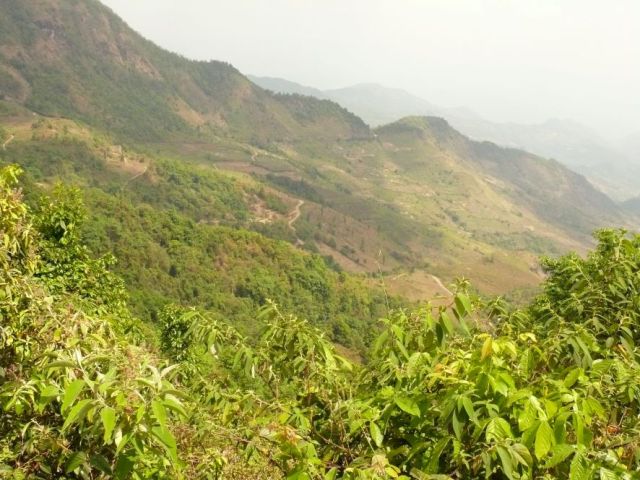
The Cangyuan District government was very supportive and immediately arranged for us to be put up at Huguangcun. Aixin Xishi accompanied us for two days. The drive from Cangyuan to Huguangcun takes 2 hours on a good road. The landscape is formed by small rivers that all seem to run in different directions in valleys under 1000 m between ranges at about 2000 m. From the road, which clings to slopes between 1300 and 1700 m, the valley bottoms were often out of sight. These are the Washan 佤山 ranges, certainly very difficult to access before motor roads and when still covered in great forests.
On the Chinese part of the mountain of the Maolong mines, Jiaoshan 焦山 on a NE ridge and Huguang 湖广 on an eastern ridge are regarded as the main sties of historical mining. A long southern spur with the settlement that is still called Jinping is the main centre on the Burmese side of the border.
We stopped at Huguang village, mainly because it was the first turn-off before Jiaoshan. Five natural villages are subsumed administratively under Huguang, with a population that is 30% Han and 60% Wazu. The actual Huguang village is on the eastern slope of the Huguang dashan range 湖广大山 (to 2300 m), a spur of the main massif.
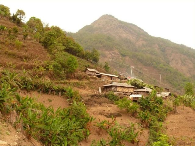
Huguang village on the eastern slope of the Huguang mountain
With Poshuijie 泼水节 still going on, all village leaders were at home. Mr. Tang 唐 (born 1968, Han nationality) was the main informant on the area, and Mr. Zi 字 (37 or 39 years old, Han nationality) showed us historic workings nearby. According to the villagers, all families of modern Huguangcun had arrived between 3 and 5 generations ago and had no knowledge of historic mining. Mr Tang and other had however been involved in slag recycling and were quite knowledgeable about slag dumps of the area. They were positive that Jiaoshan was unimportant for slags as well as for mines.
Mr. Tang and Mr. Zi showed us the smelting site of Huguangcun, some 5 km from the present village. The track climbed over the mountain shoulder to a bowl facing mainly south on the mountain spur. The village zone is about two thirds up the mountain, under the steeper ridges covered in young forest and partly exposing limestone cliffs and steep, apparently again predominantly limestone slopes that descend into the deeply cut valleys. The smelting site is approximately in the centre of the semi-circle. There used to be a village nearby, but it had become reduced to two or three households in the 1950s, according to Mr. Zi. The administrative village of Huguangcun is now located on a minor spur about 2 km west of the smelting site. The administrative building, where we were put up, and the primary school are located here, while the number of inhabitants is small.
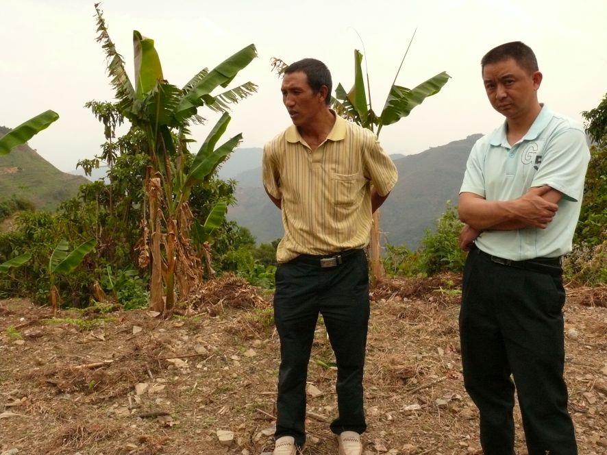
Mr. Tang and Mr. Zi
According to our informants the historic slags, which had been thoroughly dug up, used to fill two dells, the western quite deep (possibly over 10 m), the eastern wider, the entire area extending over a slope of ca. 40-50 m in height and 150-200 m in width. There were no remains of kilns or furnaces to be seen, but they knew that remains used to be visible at the upper end of the slag dump.
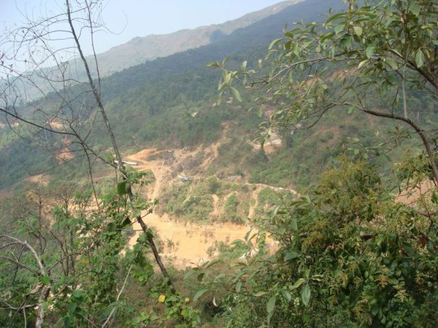
View over the slag dump from the upper end.
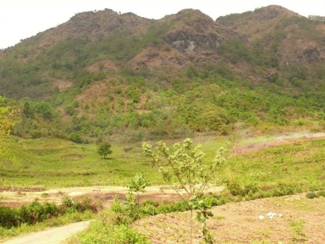
The Huguang range seen from the south
Mr. Zi showed me a few mining galleries under a limestone cliff. He used to come here to catch bats. The workings were very irregular, a maze of mostly narrow adits winding down. There was at least one chimney, which would not have been passable for a person my size, probably for ventilation, and two larger adits leading almost straight down to an unseen deeper level. These obviously were not manageable without ladders. Some way on, the tunnel actually opened to several wider chambers. Some adits were so low we had to crawl, probably half filled with debris washed down, most were high enough to walk bent double, and the chambers were 3-3 m high. Side adits opened every few metres, with the longest sections of a straight tunnel under 10 m.
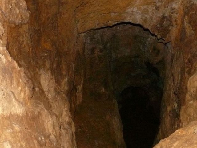
An old mining gallery
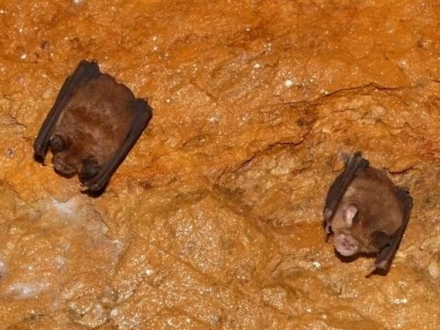
Bats hanging on the ceiling of old workings
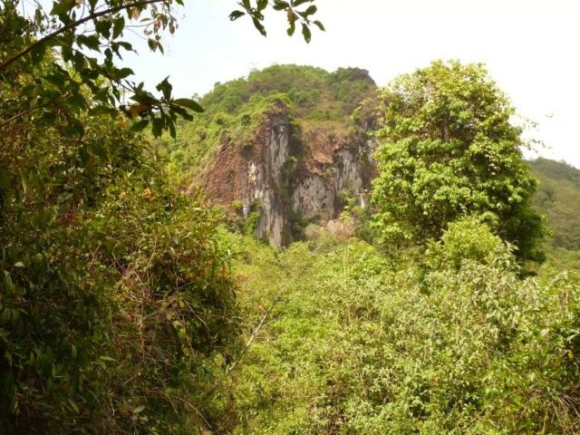
Limestone cliff in the forest at the bottom of which mine entrances reportedly exist.
When we reached the village again in the evening, the festival was in full swing.
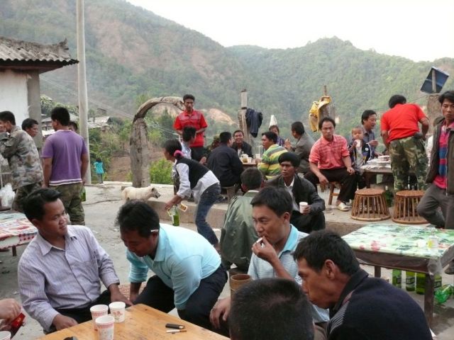
Poshuijie in Huanguang village
We collected some more information on the Huaguagncu area and on Jinchangba.
Another dell some 3 km east of the first dell that used to be the slag dump looked like a possible site for a temple, but no remains could be found.
Jinchangba 金厂坝 was the main mining site. Since the 1980s, but especially over the last decades, Chinese have been shipping slags and discarded ores from this site to smelting plants in China. Transportation is on muleback to Banlao, where the motor road begins, and continues by truck.
View along the Huguang dashan range. The shoulder that leads to the present Huguang village is at the lower end of the range in the right of the photo.
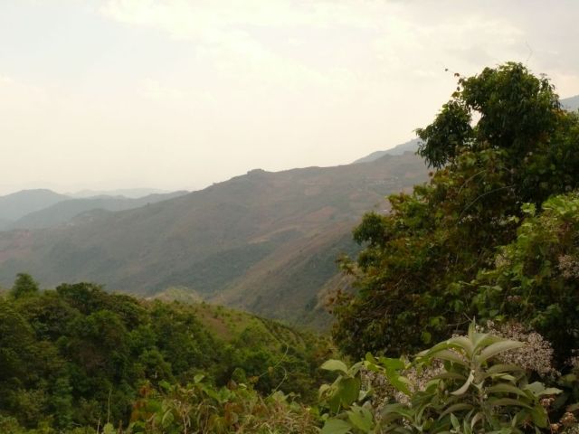
View SW to the last range in Chinese territory and the ranges in Burma beyond. The bluish range to the left of the range with the last Chinese village is Jinchangba