

The mines in Gengma District 耿马县: Laochang 老厂 (historical Shiniuchang 石牛厂?) and Manpingzhang 蛮平掌/Mangpianchang 芒片厂 (historical Xiyichang 悉宜厂?)
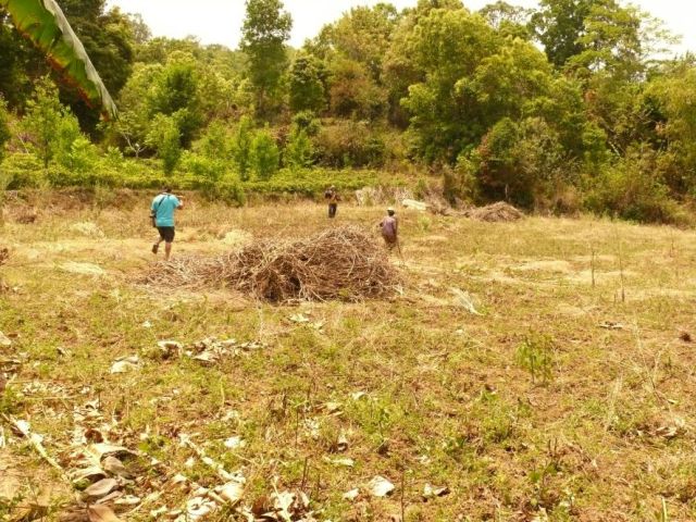
Shiniu Mines with a militia of several thousand men is recorded in the context of the Qing-Burmese border wars of 1767-1769. The Xiyi Mines appears in the tax records of 1829. Indirect records suggest a considerable importance of the Xiyi Mines in the early 19th century.
2011.4.15. and 16. Fieldwork by Yang Yuda and Nanny Kim, supported by Xiong Dao 熊道 of the Gengma Tourist Office, Duan Degen 段德根 of Laochang, and Mr. Kong 孔 from Mengsa
2011.4.15. Lincang 临沧 to Gengma 耿马, fieldwork at Laochang 老厂
We only realized that it was Poshuijie 泼水节, the water-sprinkling festival, on the 16th, after reaching Lincang, when it was too late for rescheduling. Reached Gengma in the late morning, with water sprinkling going on along the road and preparations in the town in full swing. Much appreciated that Xiong Dao 熊道 (born 1981) of the local government and from Daxinzhai 大新寨 was game to take us on for two days all the same.
This is a country of sugar cane, planted to well above 1000 m. We crossed several ridges of ca. 1500 m, much land appears to have been opened for cultivation quite recently, and the main crops are maize and sugar cane. It was a hazy because of the burning off of sugar cane stalks. Forest recovery appears fairly quick in these parts, with much evergreen broadleaves, mixed with pines and some tropical firs on the higher ranges. The Mengsa plateau to the east of Gengma is as about 1300 m; the Gengma plateaus at 1100 m. Both are hilly, crossed by many small streams flowing mainly southwards. Gengma has been completely rebuilt after a major earthquake in 1988.
Gengma used to be the seat of a local Shawba or Shan lord. Two mines are recorded under the names of Shiniu 石牛 and Xiyi 悉宜. Out indication for looking for these sites were two streams named Laochanghe 老厂河 and Xinchanghe 新厂河. These are small tributaries of the Nandinghe 南定河 that descend from the ridge that borders the Gengma plateau to the north. The Nandinghe runs at about 600 m at Mengjian 猛简, the ridge reaches over 2000 m. A village called Laochang (Old Mine) is located on the upper reaches of the Laochanghe, while Manpingchang 蛮平掌 village had been identified as the Xiyi Mines on account of information that these were at the Daheishan, which is a peak near this village. The location of the Shiniu mines is not clear, but Laochang appeared a possibility.
That afternoon, we headed for Laochang (“Old Mine”). Leaving Gengma, we took the motor road towards Mengding, which begins ascending ridge almost immediately. It first passes through tea gardens, then mostly cultivated slopes (mainly sugar cane and maize). Quite high up the mountain it passes by Shihuiyao 石灰窑 (chalk kiln) fairly high up the ridge, a place that might have been associated to the mines for the production of chalk needed as an agent in smelting. Uncultivated steep ground is covered in relatively young mixed forest, much used and thinned out.
Some 5 km after the pass at 2000 m we left the asphalted road at the turnoff to Mengjian. The administrative Laochang village is far down the range at the lower end of a basin where several streams join and tongues of the two higher side-ridges from approach each other. While waiting for a local official, we had a talk with the old lady living next door. She is 74 years old, tiny and agile. She told us that her nationality is registered as Han, while her relatives in the Dali area are Hui. Her family came over 1 or 2 generations ago, after mining had ceased – as far as I understood. Only a handful of families live in this village, which appears to be a recent, administrative settlement.
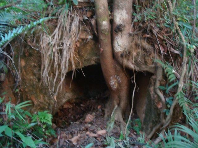
Duan Degen 段德根 (49 years old), the village cadre of Laochang, took us to see mines that had been worked on and off since the 1980s, remains of temples, and the old village. We first doubled back and almost climbed back almost to the main road, to turn into a track that had been built for mining. The track serpentines along the slope, in and out of numerous gullies, for perhaps 10 km, leading to the office and dorms of a small mining company that has been working here for 17 years. From here, the road descends towards a stream. There is a mine entrance that is being worked. Around the corner along a small stream are an old mine entrance and a mine that according to Duan and the local mine operator was operated for a short time in the 1980s. The modern workings exploit the same seam as the historic gallery.
Remains, such as gangue and slags are difficult to find in the young but dense forest. The historic mine entrances are thought to be along this slope at between 1400 and 1200 m.
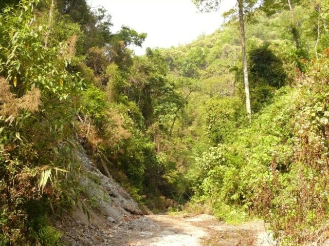
Track through the forest to the mine entrance
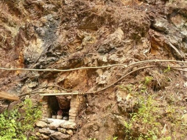
Shrine next to the mine in operation
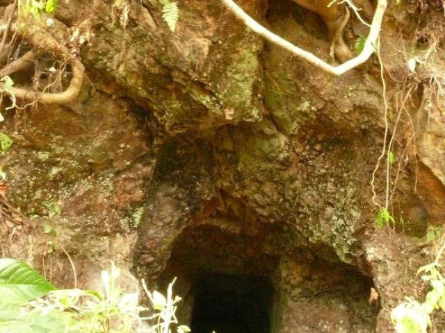
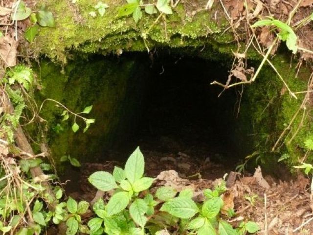
Historic mine entrance
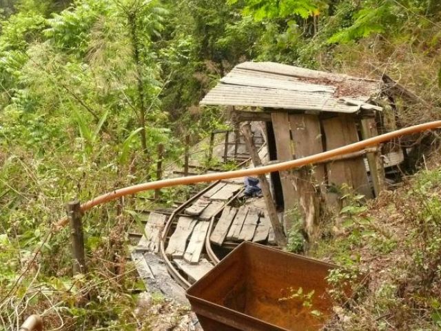
Remains of the mine worked in the 1980s
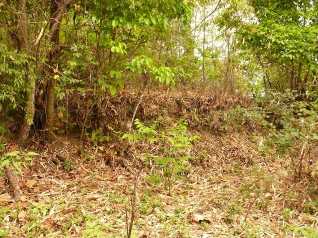
The next stop was the most important site of Laochang: the remains of the temples. It took a long time to reach by car, even though the distance as the crow flies is at most 3 km from the mine. We climbed back to the northern mountain ridge from which the streams forming the Shuangqiaohe or Laochanghe descend, and turned into a narrow track that descended through the forest. At some spot that looked much like any other Duan stopped and took us into the sparse but brambly forest at ca. 1550 m. It was relatively open because this is a slightly milder section of the ridge and used for graves. Duan pointed out the sites of three temples, the Liusheng miao 六省庙, the Wusheng miao 五省庙 and the Sansheng miao 三省庙 (Temple of the Six, Five and Three provinces). There were old bricks and bits of tiles everywhere, some walls and foundation platforms still clearly visible. The Liusheng miao apparently had occupied at least 3 courtyards on the ridge. The other two temples north of this temple, where the bamboo and the brambles were too thick to penetrate. The lower end of the temple area is the upper end of the old village of Laochang, at about 1500 m.
A corner in the site of the Liushengmiao
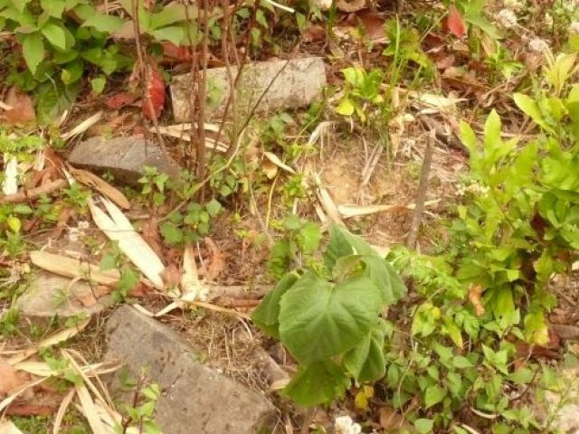
Bricks and roof tiles in the site of the Liushengmiao (1)
Bricks and roof tiles in the site of the Liushengmiao (2)
The lower end of the temple area.
Along the track that continues north from the top of the village, slags form scree fields. Slags have been dug up in places, while they are invisible under the undergrowth in others. The extent is impossible to overview. Since it was already dusk, explorations were very limited.
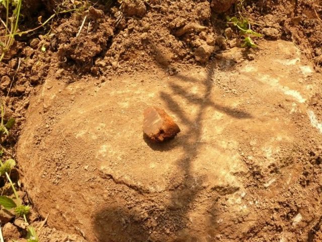
When Duan pointed out remains of smelting furnaces or hearths, we found several sites of wall remains and clay that had been turned red by heat, as well as one almost intact cupellation hearth with a young tree growing in it. The dating of these remains is uncertain.
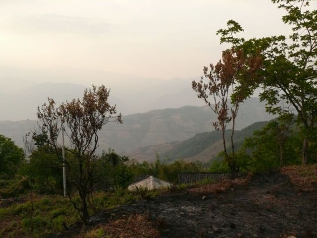
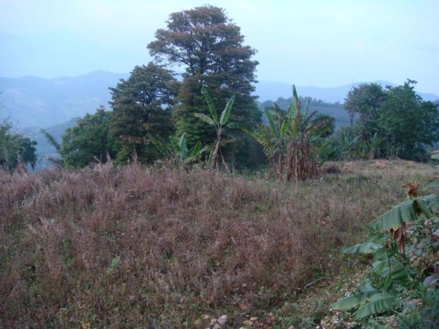
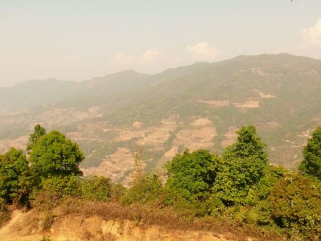
view of Laochang village eastwards toward the next range with Yaodian and Manpianzhang
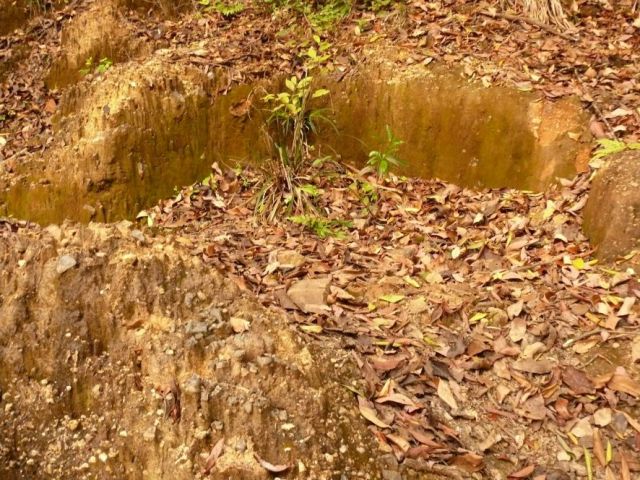
Remains of the rear wall of a cupellation hearth and the intact hearth (1)
Remains of the rear wall of a cupellation hearth and the intact hearth (2)
Slag dump at the track just east of the top end of the village, and detail of slags (1)
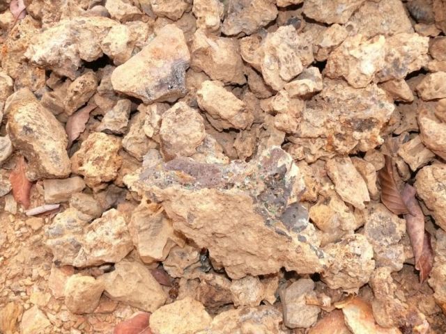
Slag dump at the track just east of the top end of the village, and detail of slags (2)
To return to Gengma, we drove down a steep track that keeps on the small ridge. Duan pointed out that the area now turned into fields below the village of Laochang is called Tanshi (charcoal market), at about 1450 m.
Fields below Laochang still known as “charcoal market”
2011.4.16. Gengma 耿马 to Manpingzhang 蛮平掌
Set out from Gengma at 9 am. Xiong Dao’s native village Daxinzhai 大新寨 is on the ridge behind the Xinchanghe 新厂河. According to him, it was founded in his grandmother’s generation, probably in the 1950s. Some 15 years ago, it was abolished and mover to Mengsa 猛撒, with only two or three families staying behind at the old site. Xiong had contacted Mr. Kong (about 46 years old) of Mengsa, whom we picked up there. Mr. Kong had used his truck for carrying slags to processing plants for years until a bad accident 11 years ago.
Upon inquiry about Yaodianzi 腰店子 (half-day station) on the ridge at roughly halfway between Laochang and Manpingzhang, Mr. Kong told us that the village was abandoned and would mean a 3 hour walk. He knew about remains of temples. Upon his advice, we headed for Manpingzhang, which is on a driving track.
According to Kong, the amount of slags at Yaodianzi was less than near Manpingzhang, whereas he had not seen enough of Laochang to venture a comparison. He explained that they used to build small dams near the top of the ridge and flush out slags along gullies that formed down the slope. He pointed out a now empty pond with a visible dike wall almost on top of the ridge, and Xiong Dao happily concurred that when he was a boy and used to herd cattle they used to have baths in these ponds. We were not quite sure what to make of this, but on the way back in fact saw several of such flushed out gullies that extended several hundred metres down the mountain flank and could not have been natural.
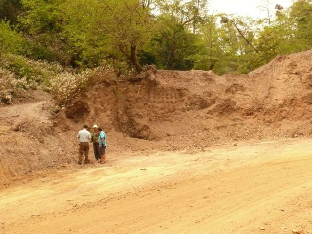
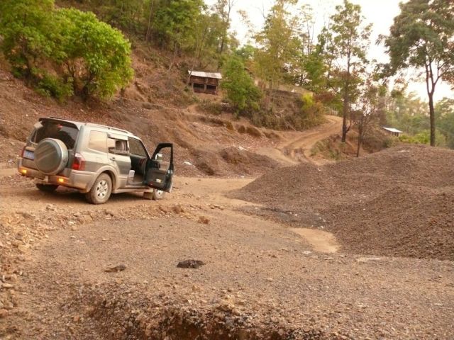
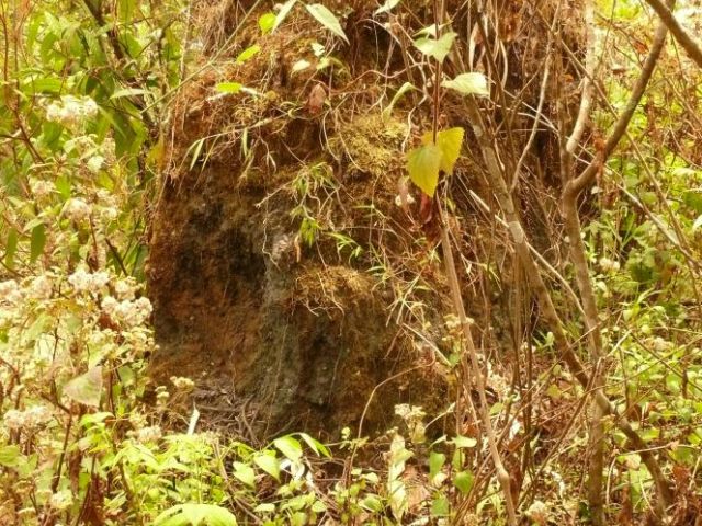
Site near the top of the main ridge where the track cuts into a gangue heap.
Dell with several old mine mouths, and detail of one of them. Further pits on the top are vertical shafts (we saw one of them). (1)
Dell with several old mine mouths, and detail of one of them. Further pits on the top are vertical shafts (we saw one of them). (2)
On the ridge, the track cuts into a thick layer of mining debris (the visible layer is up to 5 m thick). Mr. Kong knew of some mine entrances nearby in a tiny dell almost at the top of the crest. He explained that the galleries near the bottom sloped down, while those a bit higher up went straight down. The dangerous pits had been blocked up by the cattle-herds. Two entranced were easily visible; Mr. Kong remembered dozens some 10 years earlier. Near this site is another pond with remains of a dam just below the road. The amount of gangue is evidence of mining near the top of the range, a rather unusual location.
View from the track about 100 m below the main ridge to the west. Yaodianzi would be the dip on the ridge to the right of the highest tree.
From the main ridge, we followed a track down a side ridge, with a view on the higher ridge that separates the valleys of the Laochanghe and the Xinchanghe. Manpingzhang still is an inhabited village at approximately the same height as old Laochang (between 1400 and 1500 m). Mr. Kong showed us a site in the village with the remains of two lead smelting furnaces. One was not a heap under grass and bushes, the other still had a height of over 3 m. The dimensions appeared slightly smaller than those of the furnace at the Shiyang Mines, that dates to the Great Leap. Slags are found in sprinkled in the soil down the slope bordering the village. According to Mr. Kong, the majority of old mines were along a side ridge right below the village. The ridge is now mostly wooded, with a rocky, steep curve in the the part of the NW side facing us.
Furnace in Manpingzhang village
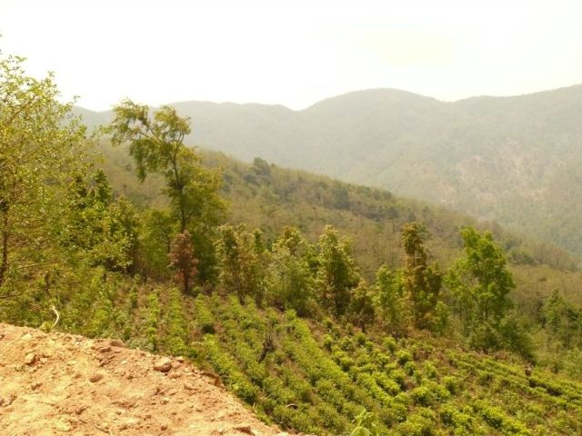
View from Manpingzhang village eastwards. The newly opened land on the far mountain slope were all planted in Walnuts. The wooded ridge that descends in the midground below according to Mr. Kong if full of mine entrances.
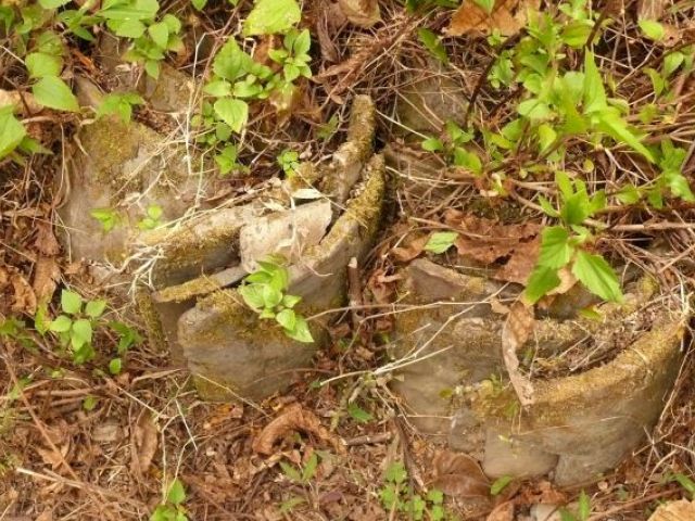
Kong recalled a temple site at the top end of the village. The Li family lives nearby, and Mr. Li, in his late 30s, was happy to help. He took us to the temple area right behind his house and to a grave in the forest adjacent to it. The temple site was just harvested bean fields, with levelled areas of three courtyards still obvious. Just under the surface were pillar bases (inner diameter ca 30 cm, outer just under 50 cm) and the kerb of what probably used to be the edge of the raised platform of a main building.
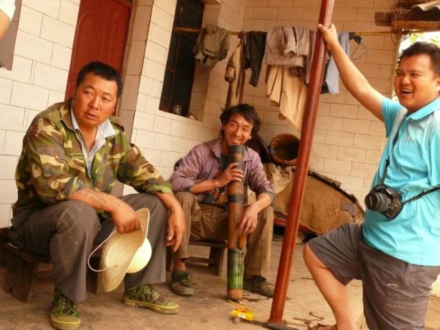
Mr. Kong, Mr. Li and Xiong Dao at Mr. Li’s house
The site of the former temple
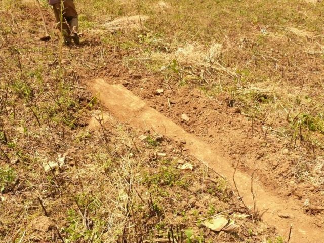
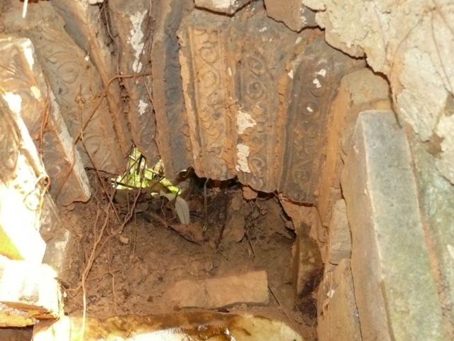
The line of cornerstones along the terrace, a pillar base, and a vase found in the old temple grounds (1)
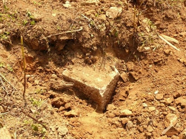
The line of cornerstones along the terrace, a pillar base, and a vase found in the old temple grounds (2)
The line of cornerstones along the terrace, a pillar base, and a vase found in the old temple grounds (3)
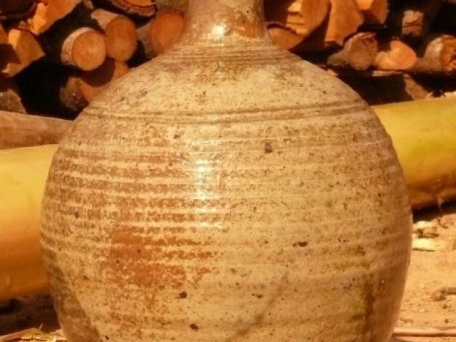
The line of cornerstones along the terrace, a pillar base, and a vase found in the old temple grounds (4)
The grave of a couple with inscriptions for both deceased appeared unusual and rather interesting. It took a while to clear and copy the text.
The Daoguang period grave near the temple grounds
(For the texts of the inscriptions, see Yang Yuda 杨煜达 and Nanny Kim 金兰中. 2012. “Yunnan Gengma Yixi yinchang xin faxian beiwen ji shiliao” 云南耿马悉宜银厂新发现碑文及史料 (Newly discovered grave inscriptions and materials on the Xiyi Mines in Gengma, Yunnan Province). Xinan guji yanjiu, issue 2011: 433-441.)
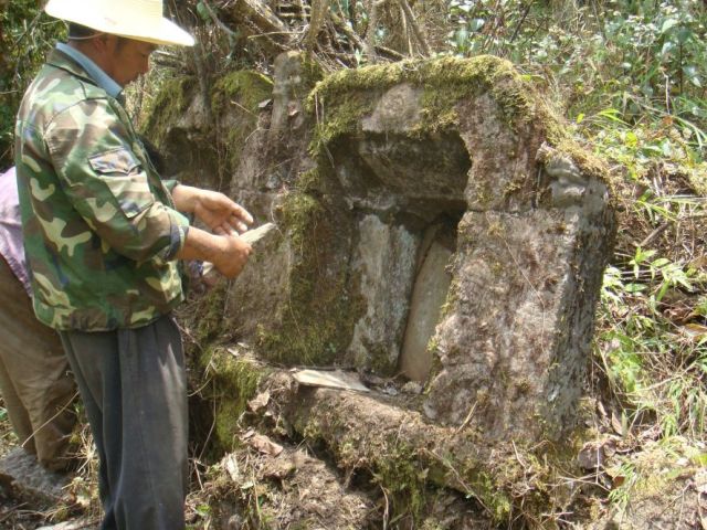
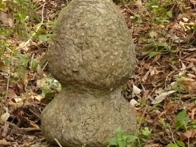
Mr. Li remembered old graves in a forest to the west of the village, and took us to see these. Several mounds still existed, but we found only two graves with inscription, dating to the Jiaqing and to the early Republican period. The earlier grave had recently been disturbed, a stone knob that used to crown the stele had been moved, and the mound was roughly reclosed. The later grave was small and built from older bricks and bits.
Its occupant had been a minor official dispatched from Zhenkang to supervise the mine. It is evidence that mining lasted into the early 20th century, though on a much reduced scale, with even the official buried with second-hand materials picked from nearby temple ruins.
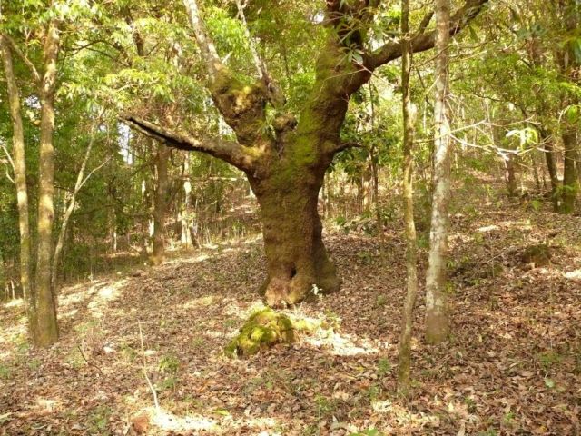
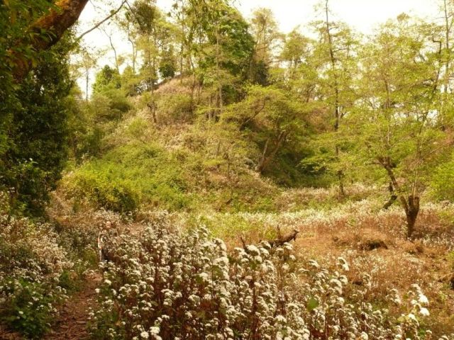
Forest west of the village with two grave mounds. Near the site of the Jiaqing period grave.
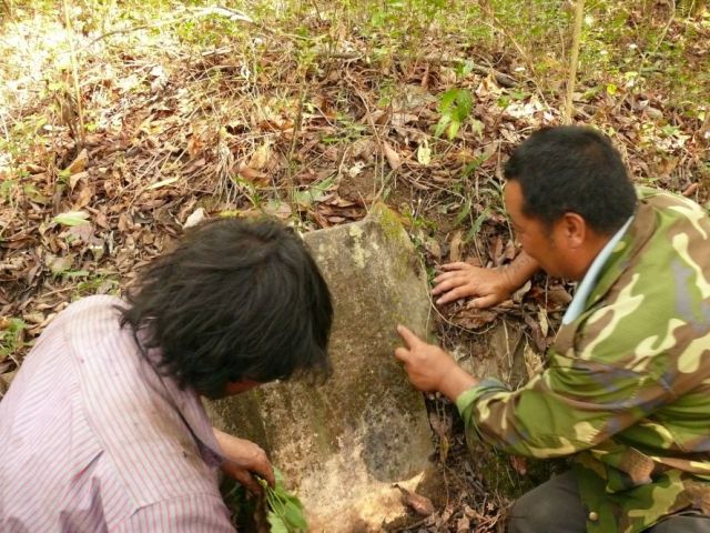
Mr. Kong and Mr. Li investigating the Jiaqing period grave inscription and the knob that used to top the grave (1)
Mr. Kong and Mr. Li investigating the Jiaqing period grave inscription and the knob that used to top the grave (2)
The early 20th century grave.
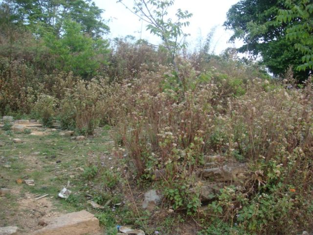
When heading back to Gengma into the evening, we came by the slope covered in flushed out gullies. These were reminiscient to gullies left by logging, but deeper and less regular. They are locally called xiagangou 狭干沟 (Narrow dry valleys) while Mr. Kong also knew the term mingcao 明槽 (open ditch, a technical term in mining).
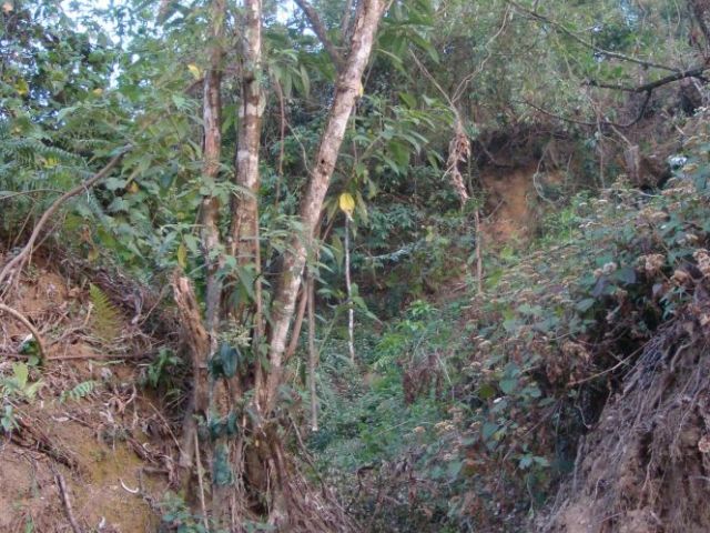
Gully in the mountain-side left from flushing down slags.
Results: The old village of Laochang definitely was a historic mining site, but the name of Shiniu was not known locally. The extent of the exploitation remains unclear, but definitely was significant. The site of mines and gangue heaps on the top of the ridge remains mysterious and might continue along the ridge to Yaodianzi. It is above Manpianzhang. On the basis of the temple sites, the grave inscriptions and Mr. Kong’s information on mine entrances, this site may have been the largest of the three.